A new app might soon help find the best way to get around without a car.
The app is called UVM Path Project and was released with the goal of gathering data on the routes that the UVM community uses to get to, from and around campus without vehicles, according to the app’s website. The idea for this app came from Doug Connelly, who is the crew coach on campus and works for the Office of Sustainability. Connelly was inspired by V-Trans, an interactive map for the entire state of Vermont, said junior Will Ryan Schroder, a student who helped develop the app.
WikiMapping is a survey tool for public input in which users are able to share data on a map, according to the WikiMapping website. The purpose of the UVM Path Project is to find smarter ways to get around campus without a car. It is used to gather information about traffic trouble spots for walking and biking in order to contribute to the campus master plan, Schroder said.
“The UVM Path Project is a good opportunity to give some input to the master plan, to tell them what it is we need,” he said.
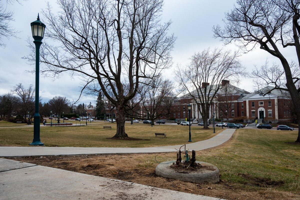
The master plan is a “flexible framework” that can be changed to accommodate new environments, attitudes and technologies and directly addresses the growth of campus, according to UVM’s website. One aspect of the plan is a 14-foot wide pathway called the Green Mountain Walkway that will connect Redstone to Trinity, Schroder said.
“I haven’t heard of this app but it sounds like a good idea,” first-year Nick Chesney said. “I usually don’t have any trouble getting to and from class but I see how this will be helpful for bike riders and people who don’t take the bus, especially as the weather gets warmer.”
Only 27 people have posted on the website to record trouble spots and construction, however the developers of the app are hoping that number will rise to at least 200 or more, Schroder said.
To access the app, go to the UVM Walks and Bikes website.


